Ridden over 8 days, plus one 36.6 km hitch out of Hell's Pass.
Rocky's Ride
Expedition storytelling through bikepacking
 Rocky's Ride
Ten days, solo and self-supported, from Springbok across the Boesmanland plains to the Orange River and back. Map, stages, water, resupply and camping.
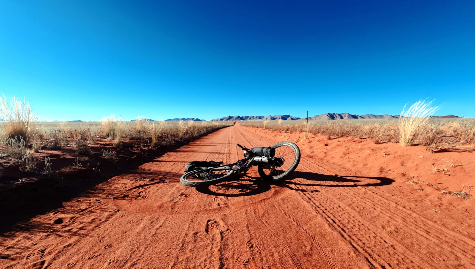
Bushmen land. An arid, remote stretch of South Africa's Northern Cape, sitting south of the Orange River between Springbok and Kenhardt. Some of the most inhospitable terrain in the country: dry, barren, with saline groundwater and little else. Its red plains and dark koppies offer exactly what I was chasing: solitude, and a kind of remoteness that's hard to find anywhere else.
Ten days, solo, off the grid. A bikepacking reset through this region, loosely following the Boesmanland and river sections of bikepacking.com's SAND Segment 3 (Richtersveld) route, and the Orange River stretch of the Namakwa 4x4 Eco Trail.
Starting and finishing in Springbok, the route pushes east across the barren plains of Boesmanland to the oasis of Pella and Klein Pella, then turns west to trace the Orange River through Witbank and Goodhouse, then out through Hell's Pass to the N7. Roughly 554km ridden, 8,500m+ of climbing, one recovery day, and one honest hitch-hike when the legs gave out.
No phone, no drone, no music, no coffee. Just red dirt, black koppies, and the river.
Ridden over 8 days, plus one 36.6 km hitch out of Hell's Pass.
22 to 31 August 2026, with one rest day at Ramansdrift.
Steepest on Day 9 through Hell's Pass, at about 27 m per km.
Gravel roads, dry riverbeds, deep sand, 4x4 tracks and an N7 tar finish.
The trip in order, Springbok to Hell's Pass. Use the arrows to move through the images.
Use the embedded map for route shape, daily legs, elevation, and GPX export.
Inspired by: SAND Segment 3, Richtersveld, bikepacking.com and the Namakwa 4x4 Eco Trail.
Not a race line and not a scenic tour. Ten days alone in some of the emptiest ground in the country, with no phone, no drone, no music and no coffee.
Distances and climbing as ridden. Day 6 is the longest, Day 8 has the most climbing in total, and Day 9 is the steepest and the hardest.
Expect long stretches with nobody around, and sections where the bike goes on your shoulders instead of under you.
Mostly wild and river camps, with one truck-stop room near the end.
Few towns, far apart. Plan food and water together.
Use these alongside the RideWithGPS collection above.
The map and field notes above cover daily legs, elevation, water, camping, and GPX.