18 riding days on the GPS-verified loop, with rest days built in.
Rocky's Ride
Expedition storytelling through bikepacking
 Rocky's Ride
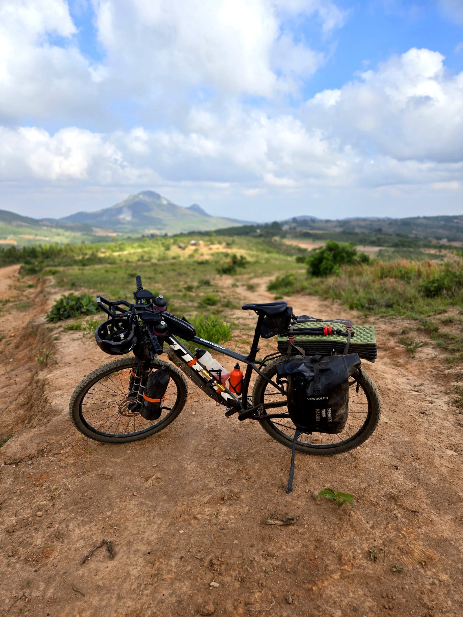
The route is called The Malawi Meander. This page is the practical planning guide: map, segments, resupply, wildlife reserves, camping, logistics, and key warnings.
The Malawi Meander is an out-and-back loop from Lilongwe north along the western lakeshore to Karonga, up onto the Nyika Plateau, over the escarpment via Gorode Pass, and back south through the highlands to Lilongwe.
18 riding days on the GPS-verified loop, with rest days built in.
Includes rest at Nkhata Bay, Nyika, and Mushroom Farm.
Lakeshore tar and gravel, reserve tracks, escarpment singletrack, and big climbs.
Gorode Pass, reserve logistics, tsetse flies, and long days on the return south.
Black-and-white portraits from the route. Swipe or use the arrows to browse the set.
Use the embedded map for route shape, segments, elevation, and GPX export.
Unlike Namibia’s empty horizons or Lesotho’s mountain drama, Malawi is about people. You are rarely alone for long — and the route rewards riders who embrace improvisation as much as mileage.
Malawi is not a wilderness expedition in the Namibian sense. It is a social, improvisational ride through a densely populated country. Plan for reserves that ban cycling, unreliable ATMs, and days shaped by strangers as much as by distance.
I mixed classroom wild camps, lakeshore lodges, government rest houses, and escarpment retreats. Book ahead for Vasbyt, Soul Rebel, and Mushroom Farm; improvise everywhere else with the same hand gestures and smiles that opened John’s classroom.
There are only three major grocery resupply points on the entire loop. Everything else is village shops, petrol-station shelves, and roadside mangoes. Water is the easy part; calories are the puzzle.
Budget time by terrain and social stops, not map distance. A puncture repair can draw a crowd of thirty. Gorode Pass can turn 8 km into three hours. The escarpment descent can turn a flat day into pure bikepacking gold.
Use these alongside the RideWithGPS collection above. The story and travel log add context that no map pin can replace.
The map and field notes above cover segments, elevation, resupply, camping, and GPX.
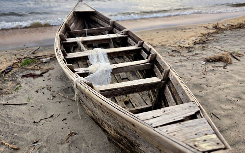
The full story goes online after the magazine edition has run.
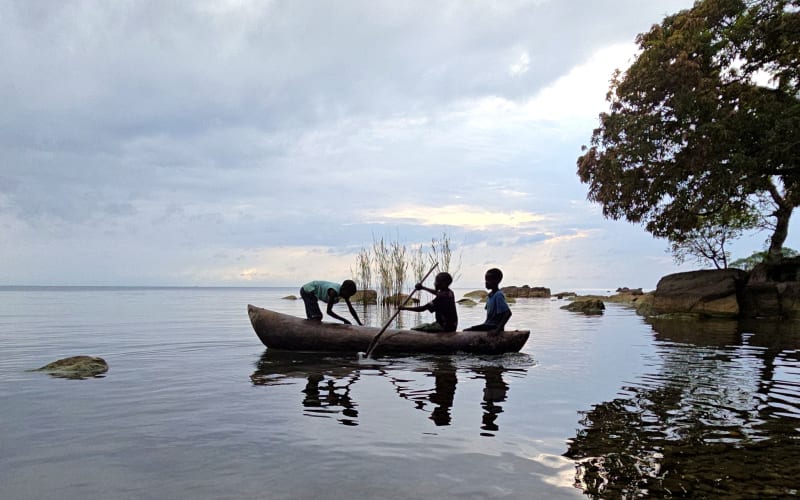
Map, field notes, resupply stops, camping, and the practical intel for The Malawi Meander.
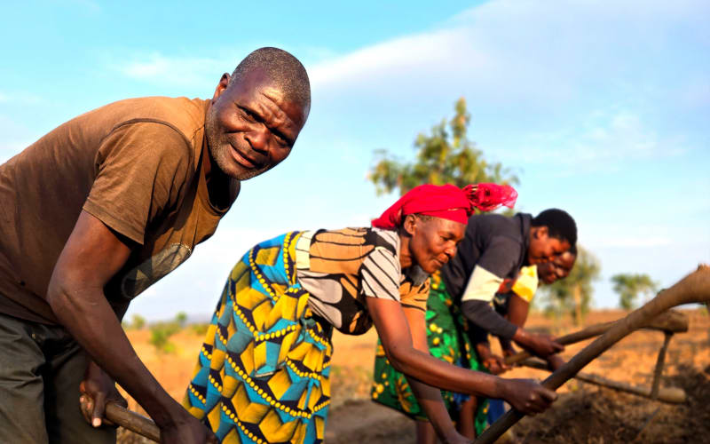
The travel article will appear in Go and Weg Magazine in December 2026.