Four riding days from Waterval, closing the loop at Seweweekspoort.
Rocky's Ride
Expedition storytelling through bikepacking
 Rocky's Ride
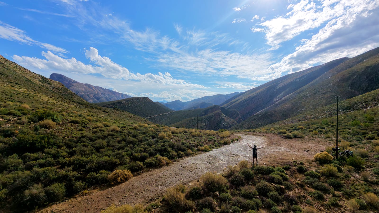
A clockwise 208 km loop into Gamkaskloof — down the Die Leer ladder on foot, out over the Swartberg, and home through the Klein Karoo. Map, GPX, access contacts, and field notes from the March 2026 ride.
A four-day clockwise loop from Waterval Eco Farmstay near Seweweekspoort into Gamkaskloof via the Die Leer footpath, out over the Otto du Plessis road and Elands Pass, down the Swartberg Pass, and back through Calitzdorp and the R62. Low point 231 m; high point 1,567 m at Ou Tol.
Four riding days from Waterval, closing the loop at Seweweekspoort.
Plus a travel/setup day at Waterval before departure.
Poort roads, 4×4 tracks, the unrideable Die Leer foot trail, and short tar near towns.
Three-hour ladder carry, access gates, no valley signal, and storm-exposed climbs.
Browse the Swartberg and Gamkaskloof photo set from the expedition. Use the arrows or keyboard to move through the images.
Use the embedded map for route shape, segments, elevation, and GPX export.
Sort this first. The approach to Die Leer crosses private and reserve land, and there is no signal at the gate to arrange anything on the day. There is a keypad and a contact number on the Boschluyskloof gate, but you will not be able to call from there.
A clockwise four-day loop into Gamkaskloof — down the historic Die Leer ladder on foot, out over the Swartberg, and home through the Klein Karoo. Ridden mid-March 2026 with a Jack Russell in the handlebar basket.
This is remote, self-supported country, and it is unforgiving if you get water or access wrong. The distances below come from this trip — treat them as planning intel rather than a guarantee.
Wild camping is not formally permitted inside the Swartberg Nature Reserve, so plan around booked accommodation. The Day 2 wild camp on this trip was a needs-must on the road out, not a sanctioned site.
Leave no trace. This is a heritage and conservation site: pack out everything, light no fires outside braai facilities, and keep clear of the historic structures.
Carry everything you need for the valley. Real resupply only comes at Seweweekspoort (stock up fully at the start), the single valley shop, Ou Tol, and the towns on the loop.
Ride it clockwise: the hard foot descent is on Day 1, the climb-out and storm on Day 2, the Swartberg on Day 3, and a long, faster return on Day 4. Days 1 to 3 are terrain-limited, not fitness-limited.
Official sources and pass history alongside the RideWithGPS collection above.
The map and field notes above cover segments, elevation, access, resupply, and GPX.
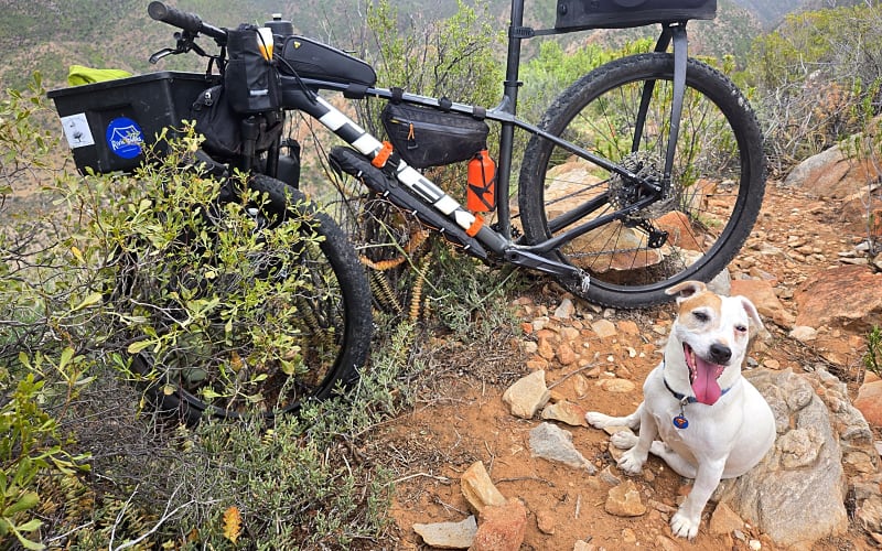
Die Leer, the storm on the climb out, Ou Tol, and the long way home through the Klein Karoo.
Read Story Page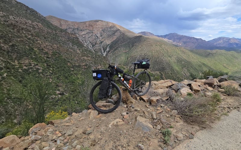
Map, GPX, access contacts, resupply, and field notes from the Gamkaskloof loop.
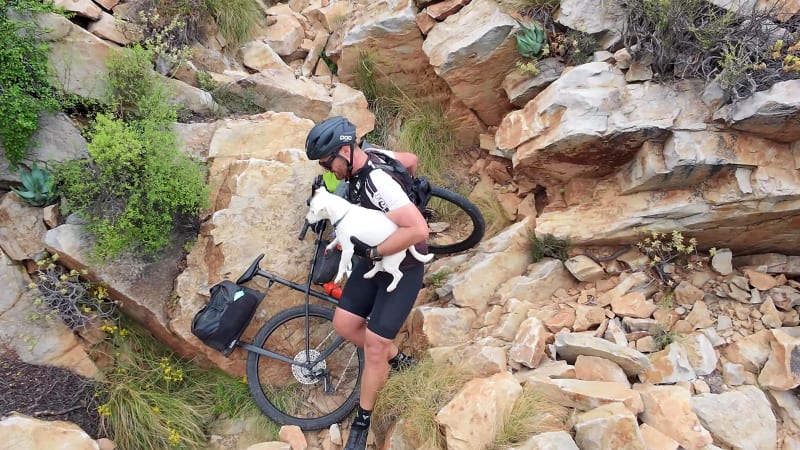
Behind-the-scenes footage and route-linked visuals from the descent.
Film Page