Into Die Hel is a four-day loop into Gamkaskloof, the valley the old Cape farmers christened “Die Hel,” hidden so deep in the Swartberg that for over a century it could only be reached on foot or by donkey.
The plan was simple to say and hard to do: drop into the valley down the near-vertical Die Leer footpath (the Ladder), ride and push the long way back out over the Swartberg, and loop home through the Klein Karoo to where I started, at Waterval Eco Farmstay near Seweweekspoort.
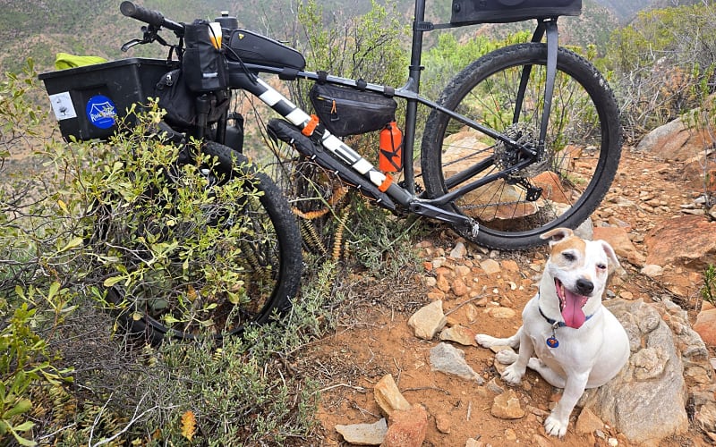
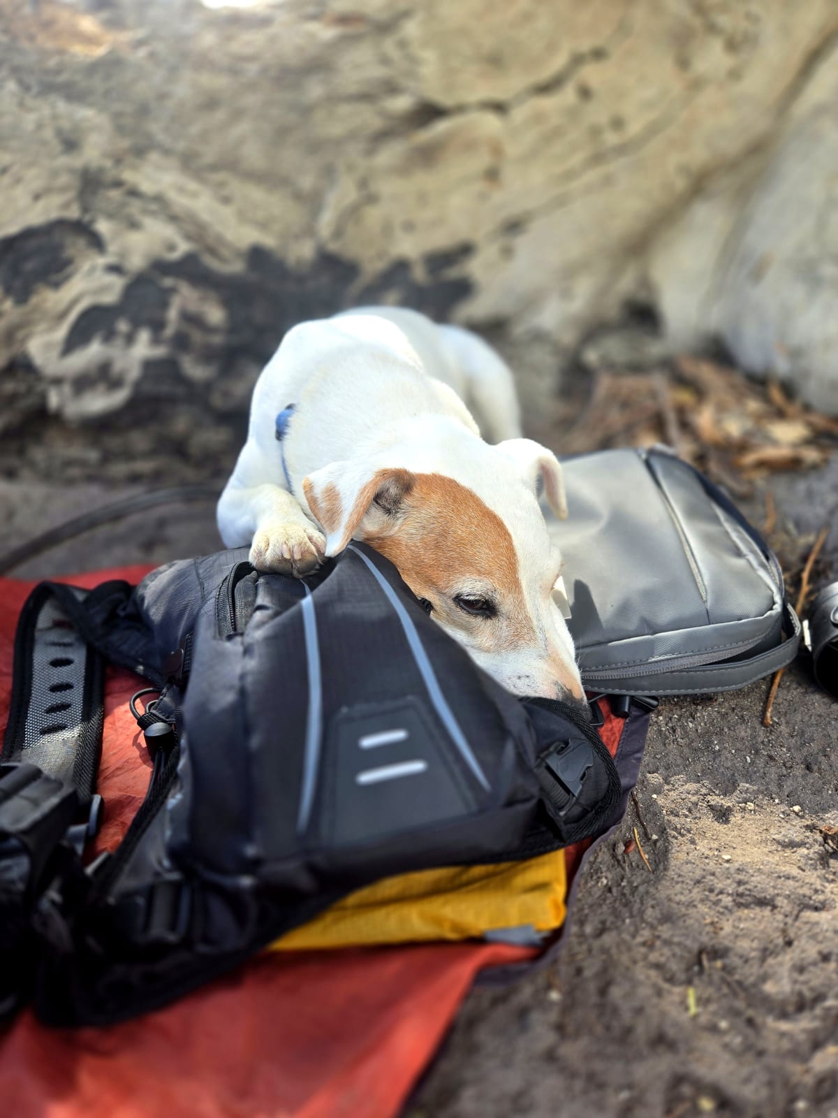
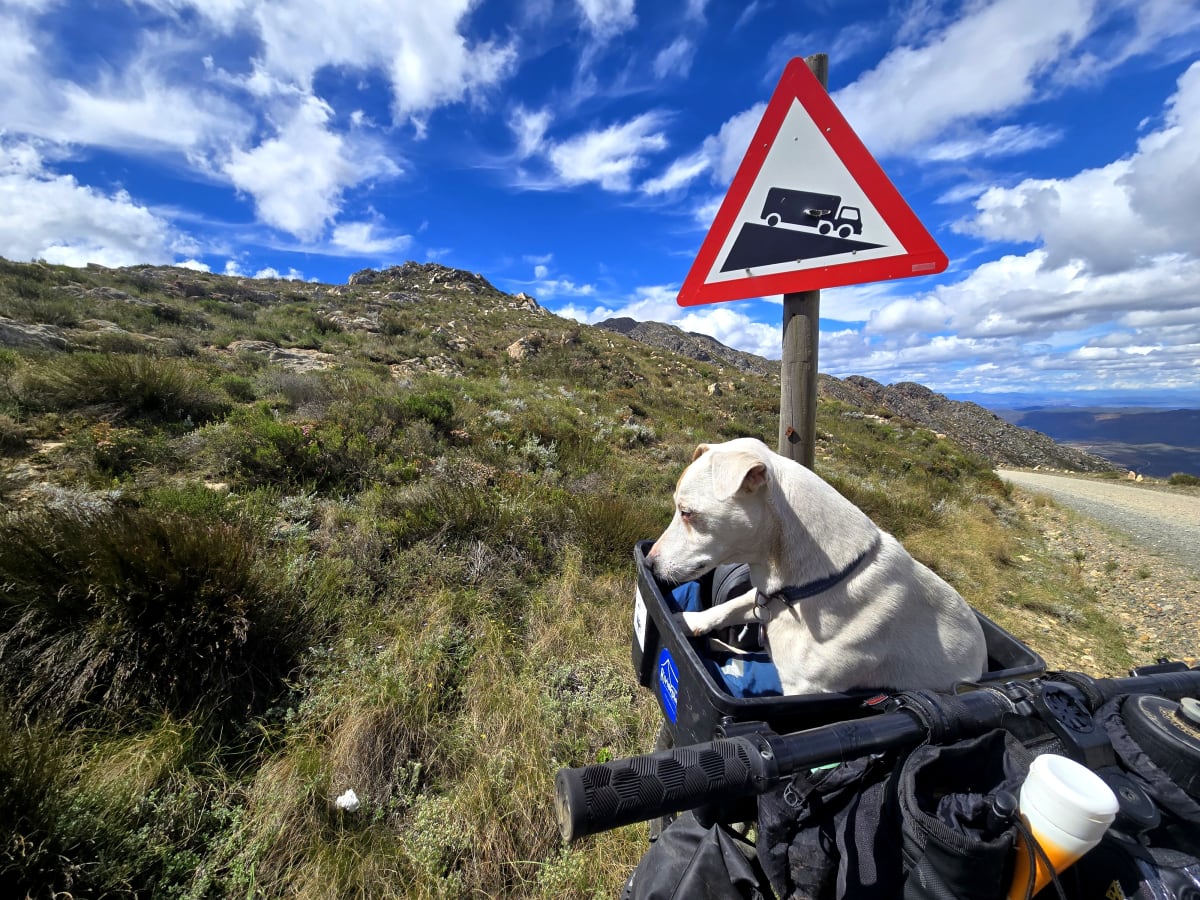
There was no support and, for most of it, no signal. And riding with me, as always, was Rocky, a Jack Russell in a handlebar basket, running free across open ground whenever the terrain allowed, and shaking at the scent of baboons whenever it didn’t.
Travel Day
Tuesday, 17 March 2026 · Waterval Eco Farmstay
The drive out to Waterval, where the vehicle would sit for the duration. A quiet, rural setting and a good base to launch from. My host, Desmond, could not have been more helpful. He laid on a proper braai the night before departure and we sat talking outdoors late into the evening.
Desmond is a keen runner, so the conversation turned to pacing, long efforts, and time on your feet, all of it quietly relevant to what was coming. A relaxed setup before the serious part began.
Into the Valley via Die Leer
Wednesday, 18 March 2026 · 44.3 km · 392–1,224 m · +1,323 m · ~9 hours
The route began through Seweweekspoort, one of South Africa’s finest gravel roads. Built by Adam de Smidt in 1860, the road follows a river through towering folded rock formations that expose millions of years of geological history. The stream running through the poort provided the last dependable water before Die Leer (Afrikaans for “The Ladder”), so make sure to fill your bottles before leaving the pass.
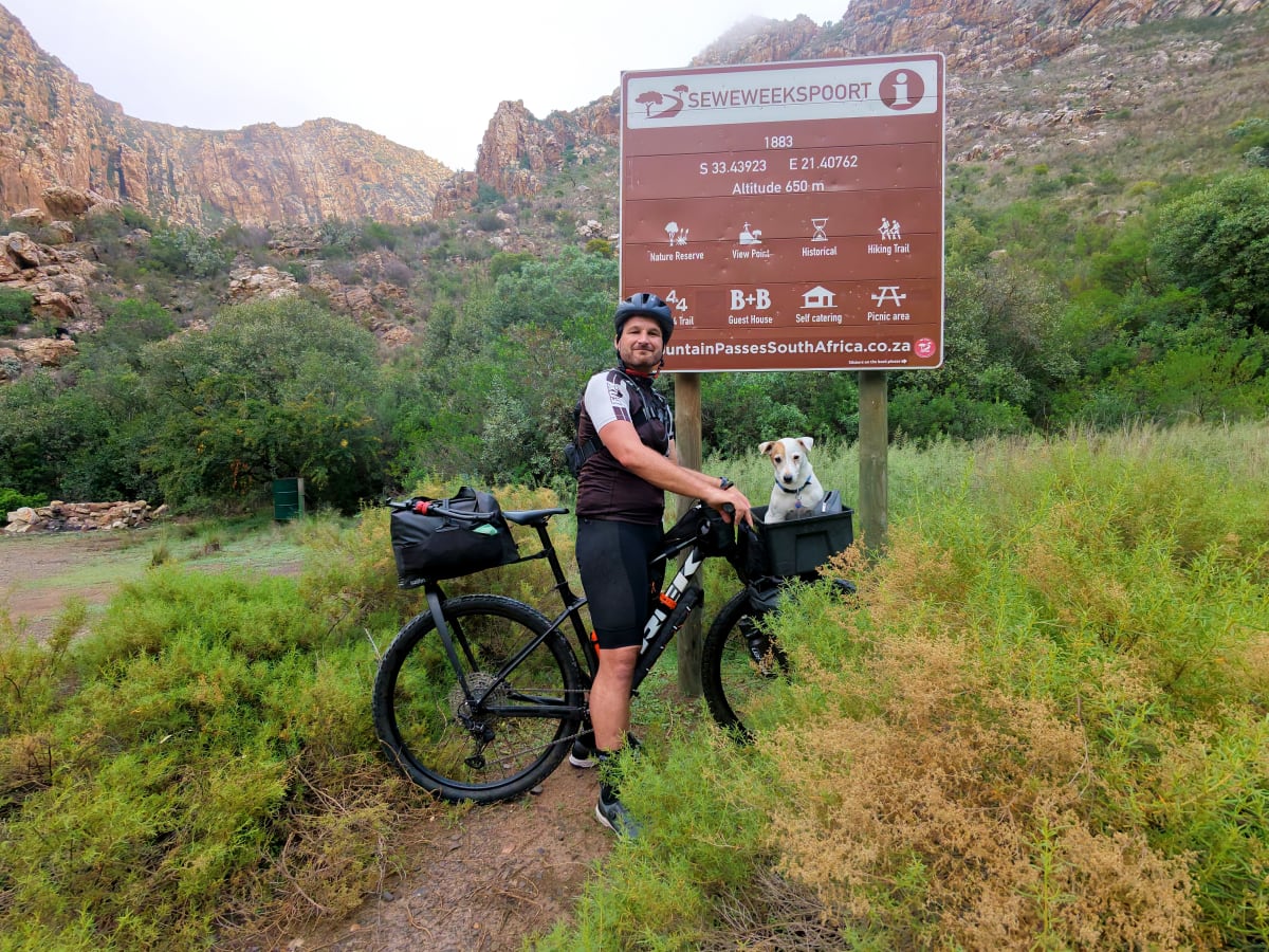
A quiet district road led towards Boschluyskloof and the first surprise of the trip: a locked gate controlling access to Die Leer. The gate marks the entrance to a private nature reserve, something none of the blogs or videos I had watched mentioned. There was a contact number and keypad access, but no signal to make the call.
Although the route has historically served as an access point into Gamkaskloof, permission is required from both Boschluyskloof and Boplaas. I made the necessary calls once I was back in range and nobody had an issue, but the right thing to do is arrange access in advance.
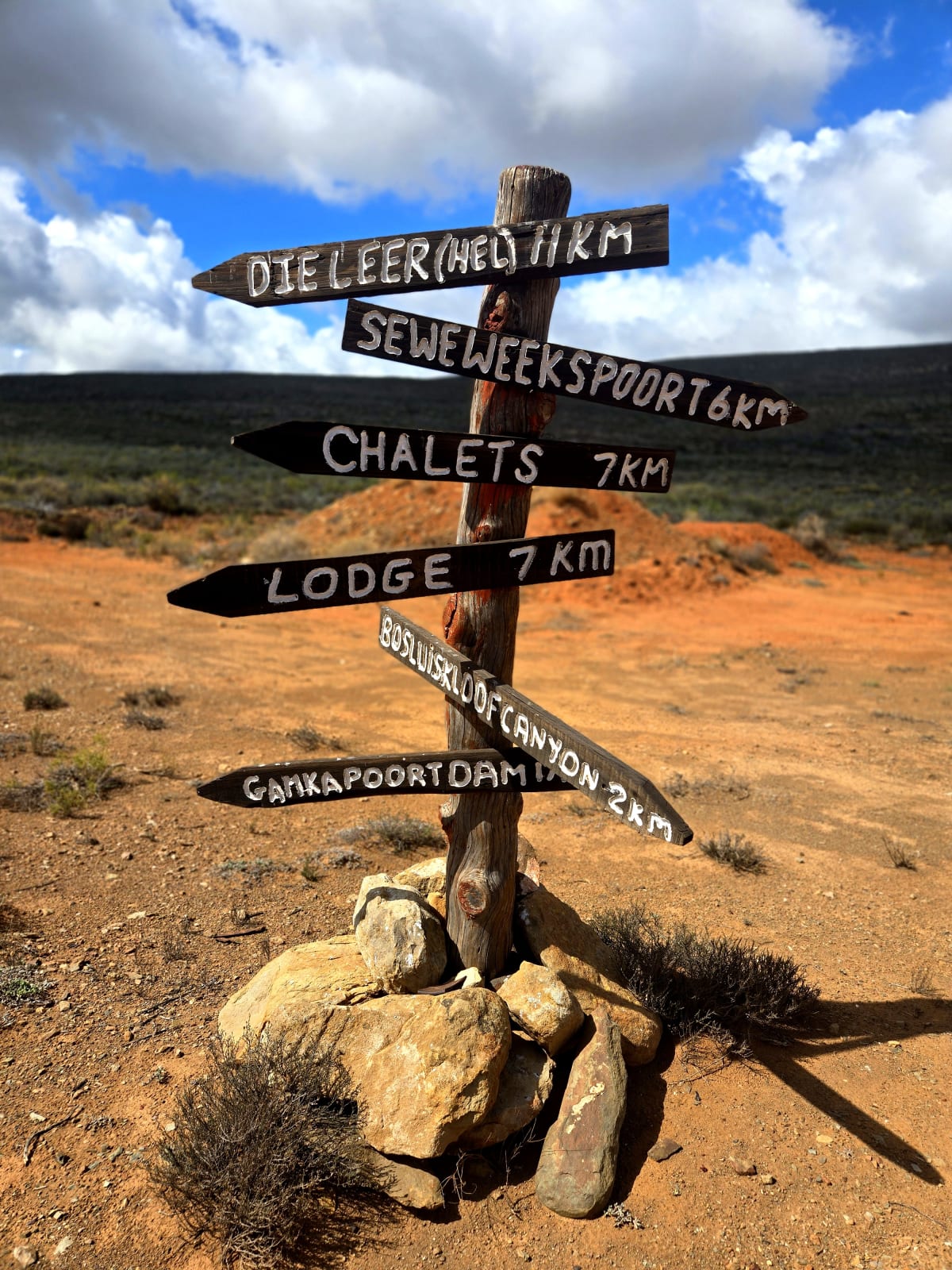
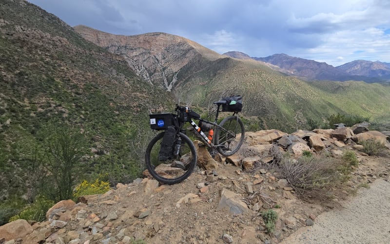
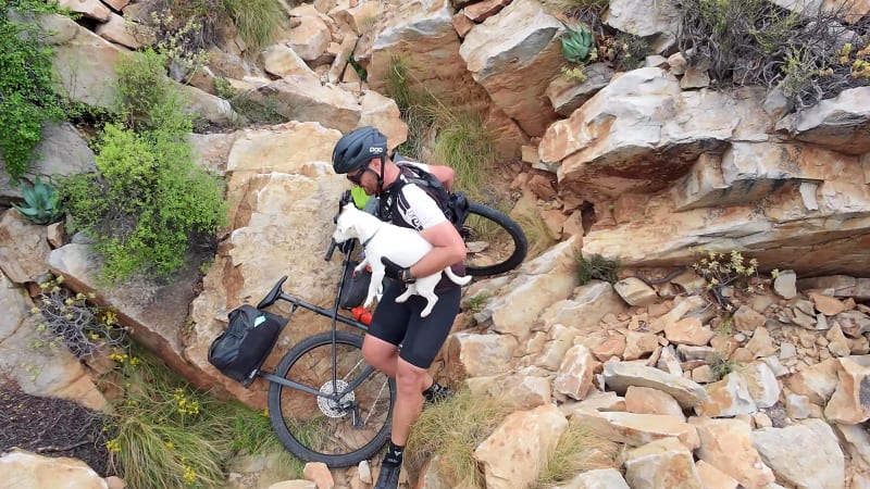
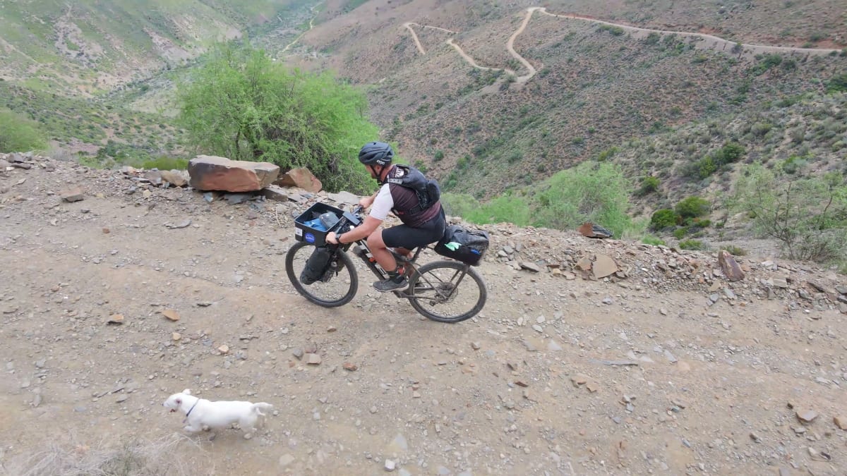
Beyond the gate, the route climbed onto a rough 4×4 track before reaching the top of Die Leer. Calling Die Leer a descent does not do it justice. It is a carry.
For nearly three hours I pushed, carried and manoeuvred the bike down steep rock slopes into the valley below. Somewhere along the way I lost my tripod, my tent footprint and, briefly, Rocky. I also ran out of water. As the descent steepened, thunder rolled across the mountains and lightning flickered along distant ridges.
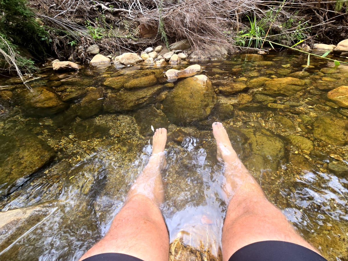
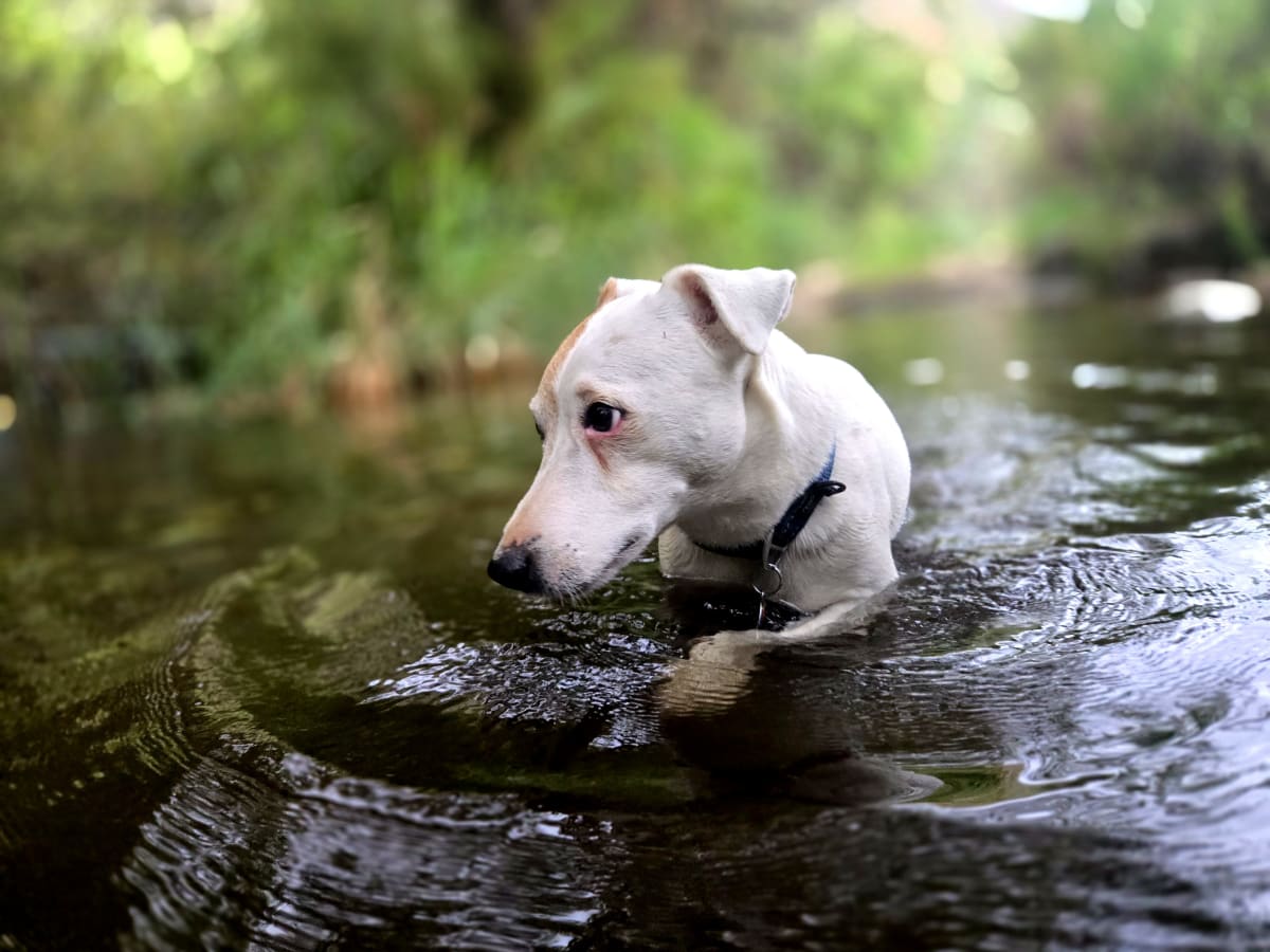
At the bottom of the ravine, I found a crystal-clear stream where tiny fish nibbled at my feet while we cooled down and recovered from the effort. A budget day spa at the foot of the Ladder. Rocky drank deeply while I surrendered my feet to the fish. The water along this route ran clean and clear throughout. I drank directly from the streams without treatment and had no issues, although carrying a filter or purifier remains the sensible option.
Leaving Die Leer behind, the route passed three rustic cottages tucked beneath towering cliffs before continuing through scattered farms to Boplaas Campsite. Peter, the caretaker, shared local stories and folklore about the valley. One tale tells of a doctor who rode into the valley to treat patients and emerged describing it as hell. Whether true or not is impossible to say, but after descending Die Leer it felt entirely believable. The access alone explains the name. Forty-four kilometres, just under nine hours.
On the passes
Seweweekspoort. Built in 1860 by Adam de Smidt, Seweweekspoort remains one of South Africa’s great gravel roads. The route forms part of the Swartberg UNESCO World Heritage Site and has changed remarkably little in more than 160 years. The stream that runs through the poort is the last dependable water before the Ladder, so fill every bottle here.
Bosluiskloof Pass. Seven kilometres beyond the poort, the route turns onto the historic Bosluiskloof Pass, also built by De Smidt, in 1862. The 7.6 km pass climbs through roughly sixty bends, with steep drop-offs and gradients reaching 1:6 in places. The name means “tick ravine,” after the fossilised ticks discovered in the rock during construction. Bosluiskloof once formed part of the main route between Prince Albert and Laingsburg; the Gamkapoort Dam, built in the late 1960s, turned it into a dead-end road, a change that also contributed to the gradual decline of the Gamkaskloof farming community.
Out over the Pass, and the Storm
Thursday, 19 March 2026 · 37.8 km · 316–1,045 m · +1,688 m
Morning arrived cool and quiet. Around nine I rode the ten kilometres east to the valley’s only shop, Ouma Sannie se Winkel at Fonteinplaas. It is the only place in the kloof with Wi-Fi and lockers fitted with charging points for phones, GPS units and power banks. I stayed longer than intended, lingering over an egg breakfast, a couple of mugs of coffee, and letting my devices charge alongside my legs. Rocky worked his way through his own breakfast and seemed equally reluctant to leave.
There I met Wendy, a Dutch woman living near Mossel Bay, who told me about the Donkey Trail. She showed me a map of the route, an old mountain path that climbs out of Gamkaskloof and traverses the Swartberg high above the valley floor. Before the road was built, farmers, traders and schoolchildren used these steep footpaths as their only connection to the outside world.
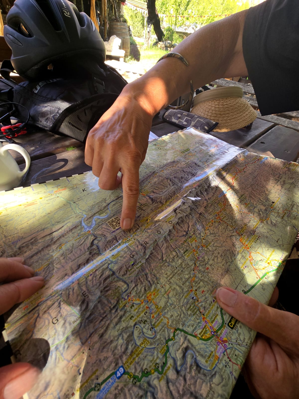
After my experience carrying a loaded bike through Lesotho, I briefly considered it. The thought didn’t last long. I wasn’t equipped for a mountain traverse, and I doubted CapeNature would appreciate a cyclist and a Jack Russell wandering through a wilderness route where dogs are prohibited.
Shortly after leaving the shop, Rocky detected baboons before I saw them. A troop moved through the cliffs above the road while several antelope watched from higher up the slope. Rocky spent the next half hour trembling with excitement. Experience in Namibia had taught me to keep a firm hold on him whenever wildlife appeared. On that trip he launched himself Superman-style from the bike basket in pursuit of a group of warthogs. The warthogs escaped unharmed. Rocky came away with a scraped chin and, as far as I could tell, no lessons learned.
The climb out of Gamkaskloof began around midday. The Gamkaskloof Road, also known as the Otto du Plessis Road, was completed in 1962 after being carved into the mountain by a small crew and a single bulldozer. Across its 37 kilometres it twists through more than two hundred bends, threading a series of small mountain passes that culminate in the steep, single-width Elands Pass.
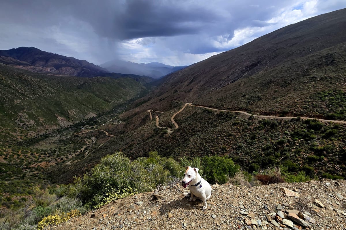
Much of it was walked. The gradient, loose surface and accumulated fatigue from Die Leer made riding difficult. Progress was slow but steady. Passing tourists in 4×4s regularly stopped to offer water as dark clouds gathered over the Swartberg.
By mid-afternoon thunder echoed through the mountains and lightning flickered along distant ridges. Then the storm arrived. Red water streamed down the road as rain hammered the mountainside. Visibility collapsed. The cliffs disappeared behind curtains of water.
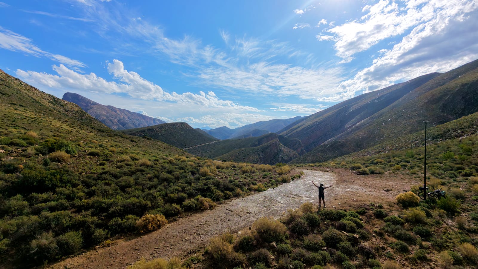
And then, almost as quickly as it arrived, it was gone. Sunlight broke through the clouds and transformed the landscape. Water poured from every rock face. The folded cliffs glowed silver and platinum in the late afternoon light, and a small rainbow hung above the valley.
“Oh man, I felt absolutely incredible. Pure raw nature, unfiltered.”
I do a lot of social media posting, but some moments on a bikepacking trip are meant just for you. The storm was moving away, everything was wet and shimmering, and Rocky was soaked through.
Somewhere on that climb I lost track of time. Not distance, not destination, just complete immersion in the moment. It doesn’t happen often. Most of my life is spent thinking about what comes next or what has already happened. Out there, with nature putting on a full display, there was only the road, the mountains and the weather. I stopped taking photographs and simply watched.
By late afternoon I had crossed the neck and dropped into the next valley. Three steenbok stood beside the road, one grooming another, completely unconcerned by my presence. A few kilometres later I found a concrete culvert carrying clear mountain water beneath the road and called it a day. After the effort of the climb and the drama of the weather, my legs had had enough.
On the passes
Gamkaskloof Road (Otto du Plessis Road). Built between March 1960 and August 1962 by foreman Koos van Zyl and a crew of roughly twelve men operating a single bulldozer, the Otto du Plessis Road remains one of South Africa’s more remarkable road-building achievements. Across its 37 kilometres it contains more than two hundred bends, threading a series of small mountain passes before the final climb out of the valley. The road’s engineer, Louis Terblanche, later lamented that it was the only road he designed that brought about the destruction, rather than the upliftment, of a once-thriving community: once an easy way out existed, the last families drifted from the kloof.
Elands Pass. The final climb out of Gamkaskloof is the Elands Pass. Narrow, steep and exposed, it forms the dramatic exit from Die Hel, with tight hairpins, unguarded drop-offs and sustained gradients that make it the most demanding section of the road, topping out around 1,048 metres. Driven into the valley it is intimidating; ridden out of it with a loaded bike, it is simply a long grind.
The High Pass, Ou Tol, and Louis
Friday, 20 March 2026 · 45.6 km · 661–1,567 m · +1,355 m
Not the gentlest start to the day. Rocky had eaten grass somewhere the day before, been quietly sick in the tent overnight, and I’d slept on it without knowing. I broke camp early under an overcast, cool sky and drew water again from the concrete pipe under the road.
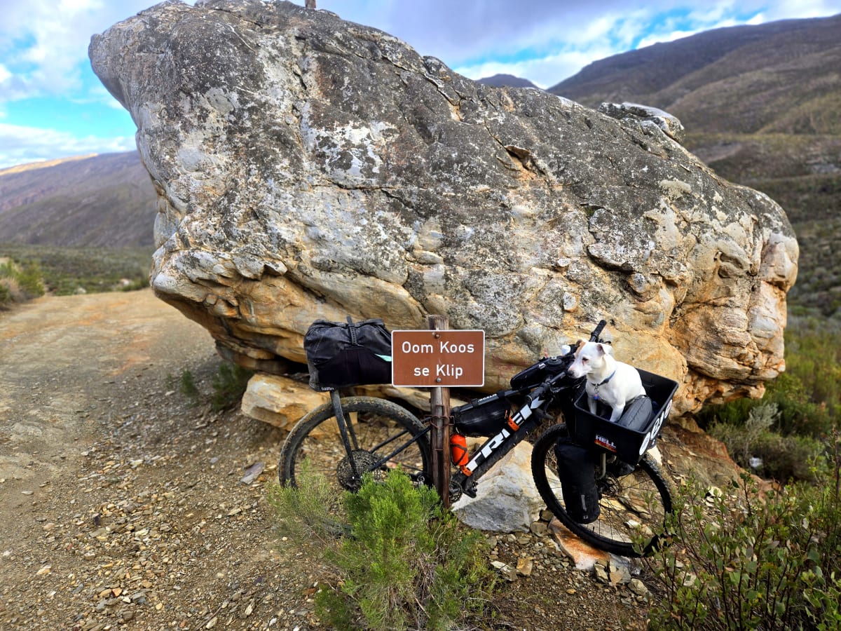
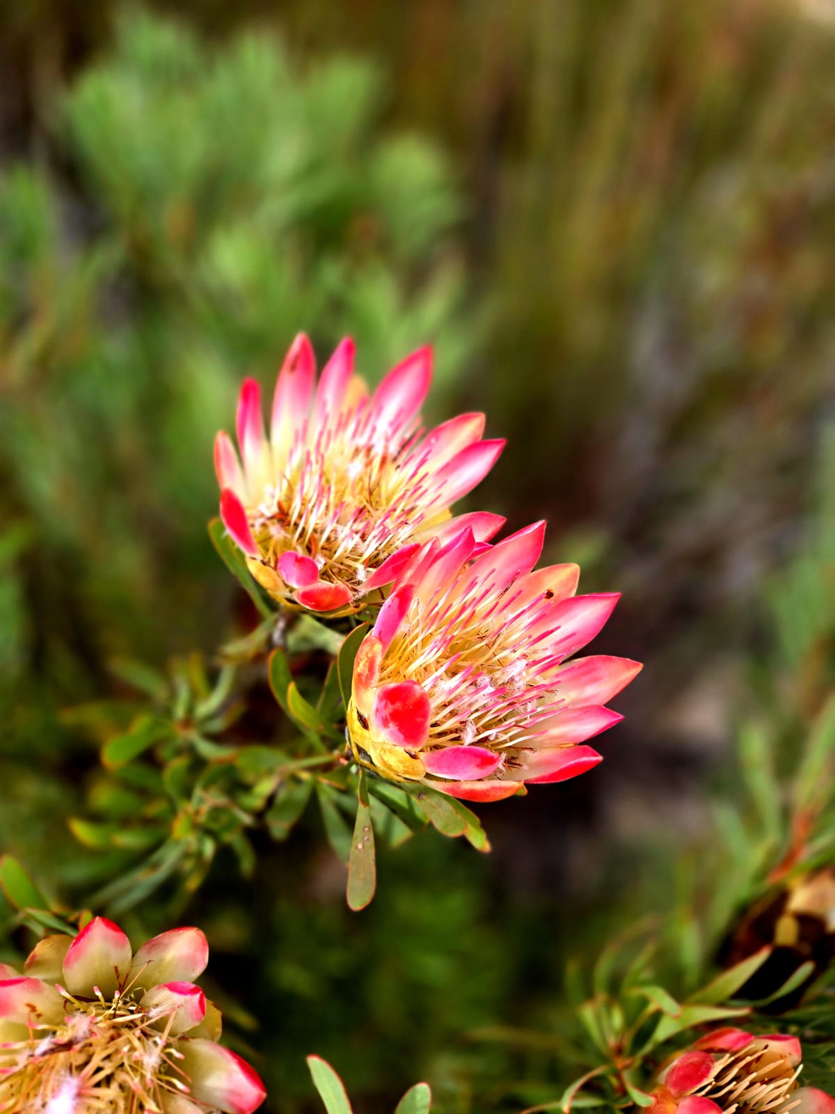
A bit of climbing brought me to Oom Koos se Klip, a big roadside boulder you cannot miss, with an official sign and a small cross on a post beside it. Baboons barked from the cliffs to my right. By half-past eight I was sweating buckets despite the cool air. A field of proteas opened up before the Swartberg Pass turn-off, which I reached at the 17.6 km mark, two and a half hours in. A little more climbing and I hit the high point of the entire trip, 1,567 metres, deep in the Swartberg, before the road tipped over into a descent through proteas and rock onto good gravel.
Just before the summit I stopped at Ou Tol, a small coffee shop, campsite and guesthouse run by Diederik. After two days of pushing, carrying and climbing, coffee and pizza felt like a reward.
Then came the descent. The Swartberg Pass is one of South Africa’s great mountain roads. Built by Thomas Bain and opened in 1888, it winds down the southern side of the range through gravel switchbacks, sandstone cliffs and ever-expanding views across the Little Karoo. After the slow progress of Die Leer and the grind out of Gamkaskloof, gravity finally took over. Corner after corner, the mountains fell away behind us and the plains around Oudtshoorn opened up ahead.
Kobus se Gat sits at the foot of the Swartberg Pass and has become something of an institution for travellers exploring the Swartberg and Gamkaskloof region. Operating off-grid on solar power and harvested water, it pairs traditional Karoo hospitality with spectacular mountain views.
A tortoise at a roadside sign, just after the turn, set me thinking about my own slow progress through Gamkaskloof. I tried for Blue Lily Retreat, fully booked, and backtracked to Swartberg Backpackers, a working farm. The owner, Louis, charged me R100 instead of the usual R350 and would not be talked out of it; he’d done the same for a Chinese cyclist a week or so back and insisted on doing it for me. His daughter, an early teenager, and his son were out helping with the tractor. Rocky took an instant liking to the girl and kept wandering off across the field to find her, so I kept fetching him back. Five kids, all working the farm. Old-school values, plainly on display.
On the passes
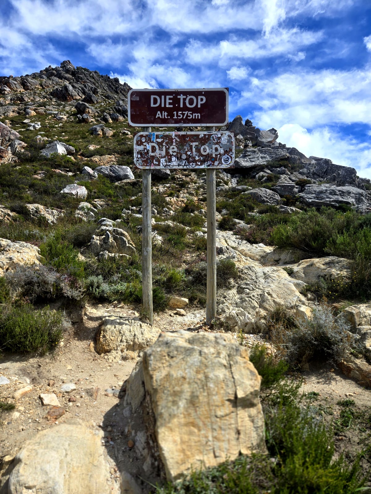
Swartberg Pass. The high point of the day, and the trip, is the top of the Swartberg Pass: a 23.8 km national monument and Thomas Bain’s last and finest Cape pass, built in the 1880s with the labour of some 250 convicts and opened in 1888. Bain held the gradient under 1:8 the whole way and propped the road up on kilometres of dry-stone walls laid without a drop of cement. The summit, signposted simply “Die Top,” stands at about 1,575 m; my own high point, at Ou Tol near the old toll house, read 1,567 m.
The Long Way Home
Saturday, 21 March 2026 · 81.3 km · 231–801 m · +1,826 m
The last day wanted an early start. I woke around half-past four, lay in the bag a while, and rolled out just after six under fresh, overcast skies. The air was cold enough that I wrapped Rocky in one of my T-shirts; his trademark bomber jacket had been left at home by accident, but the improvised solution worked surprisingly well. A short stretch of tar soon gave way to gravel, and the country opened into game land.
Game fences from the Swartberg Game Reserve flanked the road, and from the reserve’s western edge the gravel ran up and over Huis se Hoogte, the little pass that links the game-lodge country with the Kruisrivier valley below. The fences had a strange effect. They made it feel like returning to civilization, and more than that, they made me appreciate the rawness of Gamkaskloof, where there was none at all. That absence of boundaries was part of what made the valley feel so remote.
Dropping down toward Kruisrivier, I stopped in to visit Roger and his wife, who had hosted me twelve years earlier during my cycle across South Africa with my two Jack Russells, Turbo and Tequila. Roger is a talented photographer, and his work can be found at Everyoung Photography. A lot had changed since that first visit. Roger had lost a leg, but none of his enthusiasm for life. We spent a good hour catching up, talking about old adventures, photography, surfing, and everything in the years between. It was one of those unexpected stops that ended up becoming a highlight of the trip.
From Kruisrivier the route picked up the Kruisrivierpoort, a narrow, twisting little poort on the back road down to Calitzdorp, far prettier than the R62 it shadows. It dropped into a beautiful valley on the approach to town: low hills, a winding stream, and easy riding that gave me time to think about route options and the quickest way home. Near Calitzdorp I pulled in at the lookout beside the Calitzdorp Dam, a fine place to stop for a picnic, the water spread out below and the Swartberg standing behind it.
After town came the long tar haul of the Huisrivier Pass on the R62, the main-road climb west toward Zoar, the one busy main-road pass on the loop and a pass I made a point of not stopping on: head down, grind it out. Once the climbing was done, though, I did pull in at Frikkie se Gat, a roadside kroeg en padstal that made a very welcome stop for a coffee and a cold drink before the final run home.
By then the feeling had shifted. The end of an adventure has its own gravity. At some point the urge to explore gives way to the simple desire to finish and get home, and it seems to arrive on every trip, usually somewhere in the final stretch. And then, just like that, I was where it had started. No fanfare, no finish line. Just Rocky and me, closing the loop. The valley was behind us. Not conquered, just survived, and respected.
On the passes
Huis se Hoogte Pass (P363). A short gravel pass, about 3.2 km with only around 98 m of altitude change, running along the southern flank of the Swartberg. It links the Swartberg game-lodge country at its eastern end with the Kruisrivier farming valley to the west.
Kruisrivierpoort (P1706). The back road between Calitzdorp and Oudtshoorn, far more scenic than the main R62. The poort itself is only about 2.2 km long with a modest 134 m of altitude change, but it is full of tight corners and narrow, single-width sections.
Huisrivier Pass (R62). The long tar climb west of Calitzdorp, carrying the R62 over the Huis River Mountains toward Zoar and Amalienstein. It tops out around 655 m with a maximum gradient near 1:14.
Pass notes paraphrased from Mountain Passes South Africa.
Follow the ride on Instagram — @rockysride. Plan the loop on the route guide or watch the expedition film.